

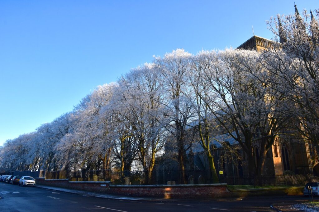
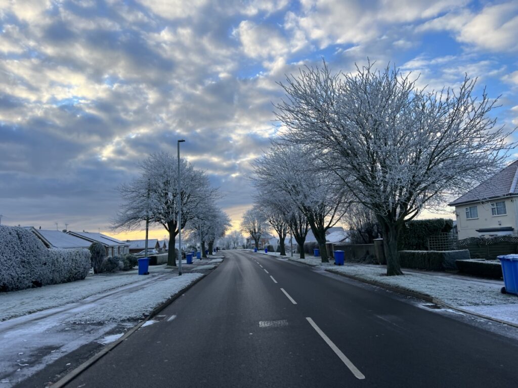
Once again the Bridlington area had an overnight severe frost with temperatures falling to minus four degrees centigrade on the thermometer.
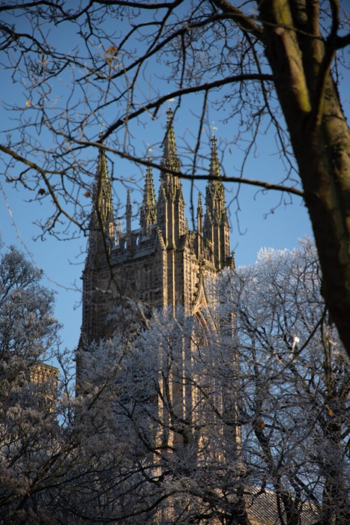
Fortunately there haven’t been any reports of major problems on the roads so far, and main roads have been described as ‘clear and well gritted’ by one motorist who was making her way to Hornsea this morning from Bridlington.
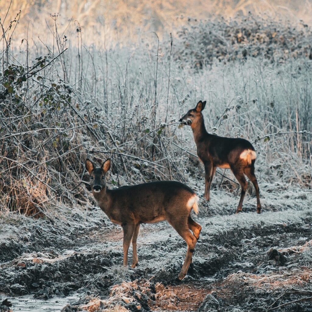
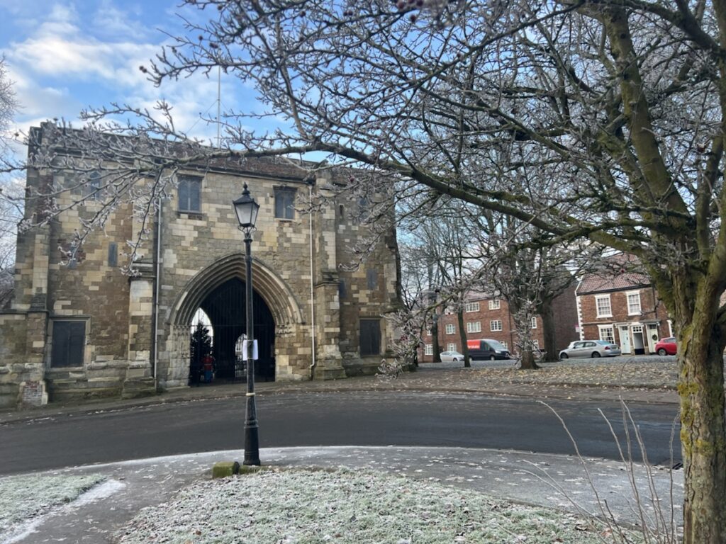
Local photographers have been out and about to capture some of the stunning scenes that have been created by the air frost.
Here is the Metoffice forecast for the area over the next few days.
A cold start with a widespread frost, low cloud and freezing fog. The Pennines may also see the odd snow flurry, however these will fade to leave a cold but generally dry day, with some eventual weak sunny spells developing. Maximum temperature 2 °C.

Tonight:
Another cold evening and night, with a widespread severe frost. Scattered snow showers will mainly affect coastal districts to bring a risk of icy patches. Further freezing fog developing inland. Minimum temperature -8 °C.
Wednesday:
Very cold, with inland freezing fog only slowly clearing as coastal districts see further snow flurries. Brighter later with some sunny spells developing, although further wintry showers affecting eastern areas. Maximum temperature 3 °C.

Outlook for Thursday to Saturday:
Very cold to end the working week with a mix of winter hazards, probably giving way to a windier, more unsettled weekend, with rain, sleet and snow more finely balanced.
Updated: 04:00 (UTC) on Tue 13 Dec 2022
